History
From Ridge To River
Jacobs Creek is a 33.4-mile-long tributary of the Youghiogheny River beginning in the mountain town of Acme, Pennsylvania and draining at its mouth in the town of Jacobs Creek. The creek forms the southwestern border of Westmoreland County at its contact with Fayette County and runs directly through the towns of Scottdale, Mt. Pleasant, Everson, Bridgeport, Acme, and others. In total, over 62,500 acres (97 square miles) of land area are contained in the Jacobs Creek Watershed, with land uses ranging from hardwood forests, agriculture, and urban areas.
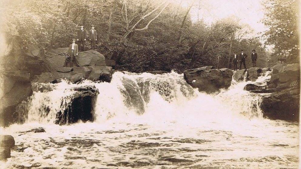
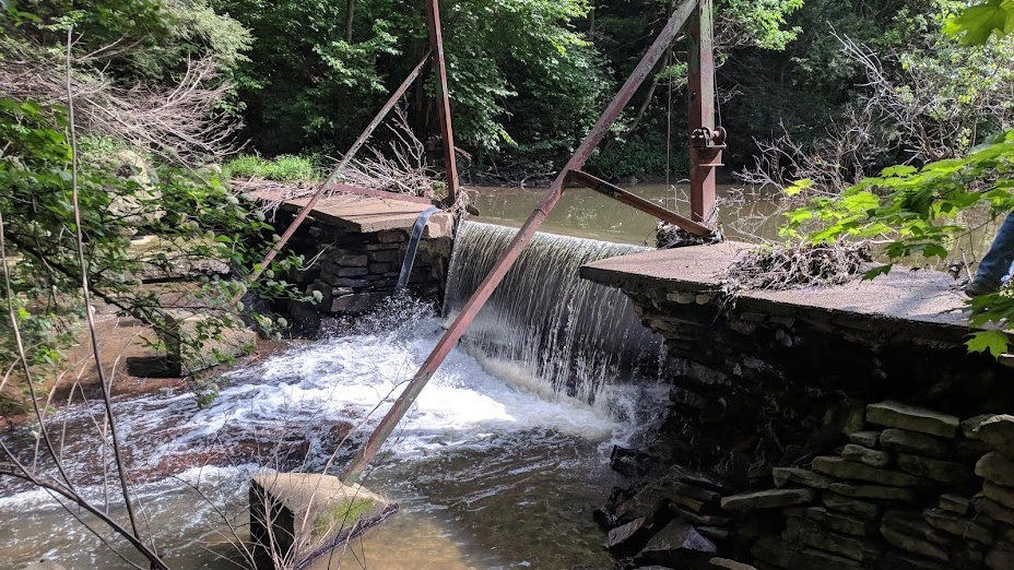
From its start, Jacobs Creek drops some 1350ft (410m) over its course. It steeply rushes down the sandstone hillside of the Chestnut Ridge before leveling out into the shale and limestone valleys containing the major towns of the region. Eventually, the creek cuts a deep gorge through a geologic structure known as the Fayette Anticline, exposing many rock outcroppings and even sections of the Freeport Coal seam before finally reaching the Youghiogheny at the town of Jacobs Creek. It’s in these final stretches that one of Jacobs Creeks most notable physical features, Creek Falls (pictured below), was formed by differential erosion rates between rock types.
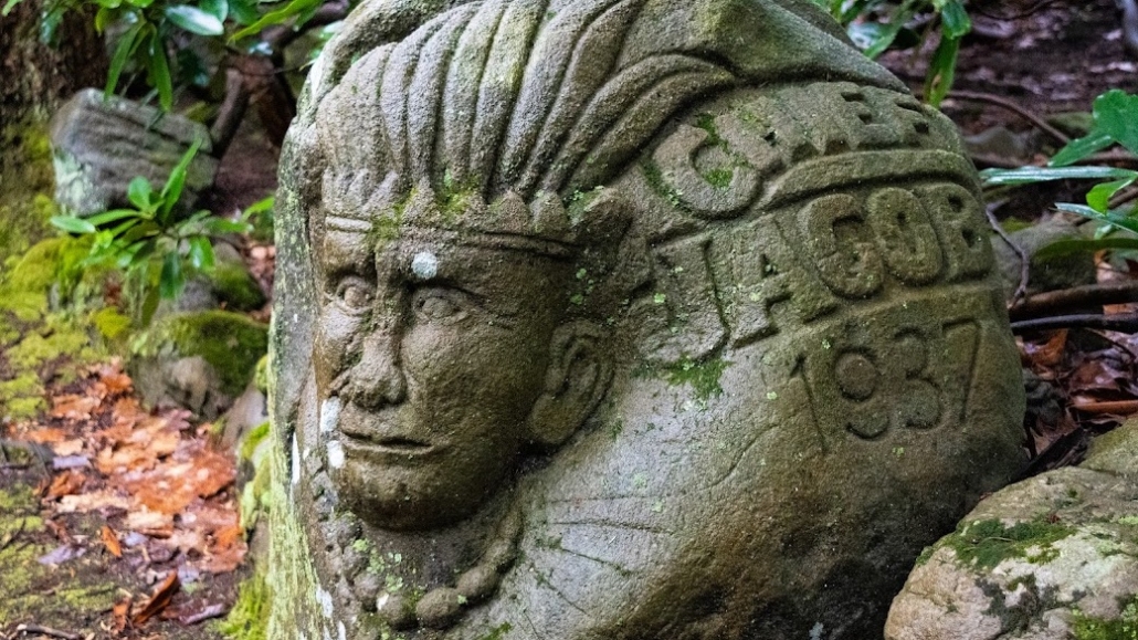
The geography of Jacobs Creek and the surrounding region was home to numerous Native American tribes including the Monongahela and Delaware Cultures that gave many of our major rivers (Youghiogheny, Monongahela, Loyalhanna, etc) their names. Conditions of the Jacobs Creek Valley also drew colonial settlements as early as 1768 when western Pennsylvania was opened to settlement by the Treaty of Fort Stanwix. Various industrial enterprises soon began in the valley, including the manufacture of salt and iron, which gave Jacobs Creek its original name, “Salt Creek.” The name wouldn’t stick long however, as by the mid-1780s the current name was adopted in reference to the Delaware Chief Jacob, a local native american who lived a period of time in the area now just north of Scottdale. Not everyone is sold on the Chief Jacob origin to the creek’s name however, with some historians suggesting it was instead named after Jacob Hough, a colonist who moved his family to the watershed in 1779.
Industrial Ties
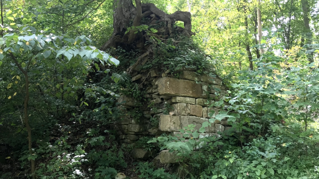
No matter how it got its name, Jacobs Creek soon grew to fame for its iron production. The Alliance Furnace, built on the banks of the creek in what is now State Game Lands 296, was among the first in the region and remains today as the oldest standing iron furnace west of the Allegheny range. In operation from 1789 to 1802, ore processed in the Alliance Furnace supplied local blacksmiths with raw materials needed for a variety of pioneer goods like pots, skillets, and kettles. Iron from the furnace was also used to make cannonballs used in General “Mad Anthony” Wayne’s campaign against Native Americans in the Ohio Territory. Though Alliance Furnace was short-lived, it helped to pioneer the Fayette County iron industry that would bloom into the surrounding region, setting the stage for industrial development of the “Iron City” of Pittsburgh into the mid 1850s.
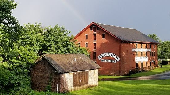
With the iron boom in the region, more and more settlers were drawn to the Jacobs Creek Valley throughout the 1800s. By the early 1800s, the Village of West Overton had grown up around a rye distillery owned by the Overholts. Nearby, numerous mills utilized the flowing water of Jacobs Creek to grind flour, creating the town of “Fountain Mills.” Mennonite farmers cultivated the valley with a variety of crops, a presence that lives on in areas along the creek like Laurelville Retreat Center. As the region grew, railroad entrepreneurs like Thomas Scott extended lines to the region, vastly expanding the commerce and wealth flowing through the watershed (so much so that the town of Fountain Mills was renamed “Scottdale” in his honor). By the 1880s, the town shifted its focus to coal and coke production alongside the iron and specialty products already being sold across the region. Henry Clay Frick, born in West Overton in 1849, headquartered the H.C.Frick Company in Scottdale, and peppered the Jacobs Creek Watershed with coal mines and coke ovens to fuel the growing Pennsylvania steel industry.
But as time went on and industry gradually shifted away from the area, the same sources of wealth grew into serious environmental issues for Jacobs Creek. Mill dams constructed to harness the gravitational potential of flowing water created active barriers for fish passage, impacting native species in the watershed like the Brook Trout and Rainbow Darter. Deforestation for agriculture, housing, or use as lumber and charcoal impacted the infiltration and erosion of land across the watershed, yielding higher-frequency and more destructive flood events on the creek. Lastly, coal and iron mines now abandoned flowed with acidic orange sludge directly into tributaries of Jacobs Creek, poisoning entire ecosystems and leaving streambeds sterile. These issues grew well into the mid 1900s and unfortunately many are still present today.
That’s where JCWA comes in. We believe that understanding the history of the region and the environmental disregard of many before us is paramount to addressing remediation and building better stewardship practices for a sustainable future. Through our many projects and educational events, we aim not only to solve some of the problems in Jacobs Creek, but to educate the public about them so that we as a community don’t make the same mistakes again.

